
Why would you carry several gallons of water through the desert? Why leave the beaten track and expose yourself to snakes, sunburn and surprises? Because you can. And because you will never know how beautiful and full of life the Californian desert is if you are just driving by.
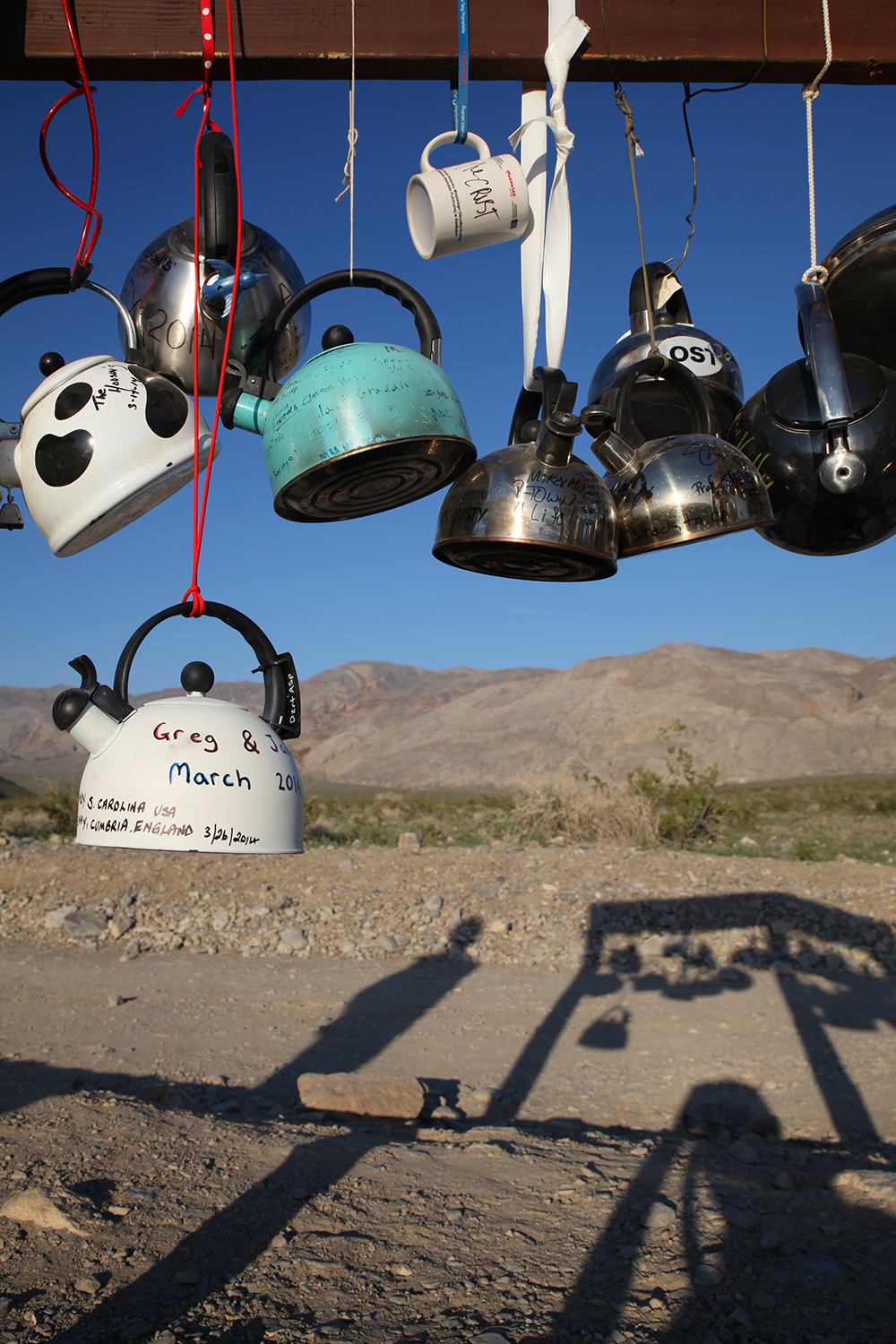
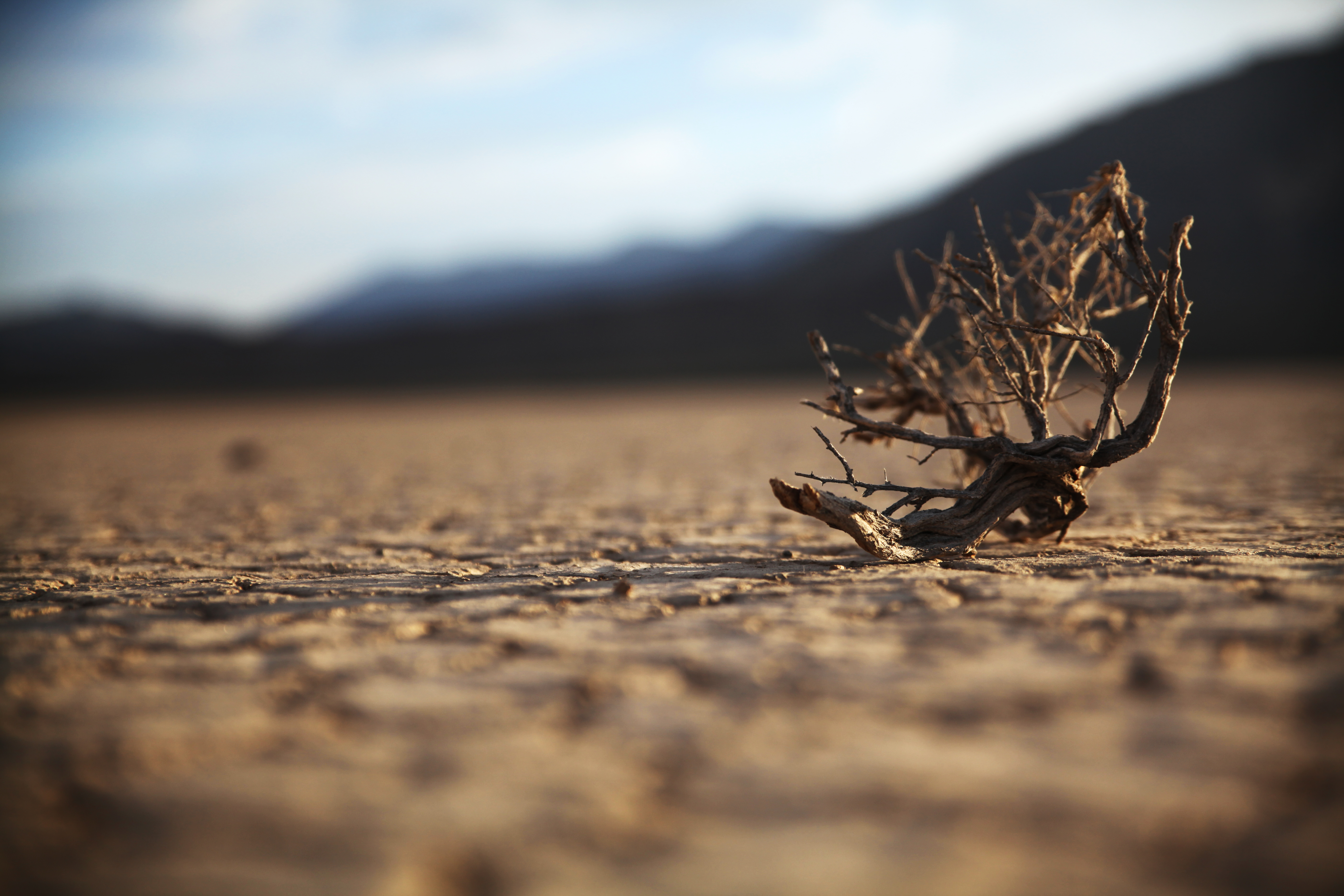
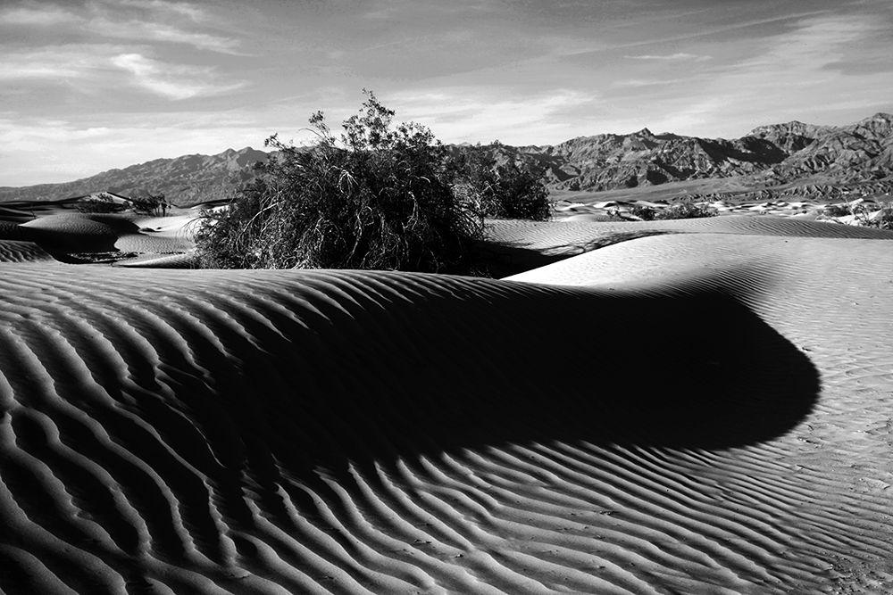
Bushes blow by, stones migrate, tea kettles swing in the wind and floods reshape entire canyons. More than a thousand plant varieties – cacti, agaves, yucca, bushes and grasses – have adapted to the desert climate, taking in water with their particularly deep or ramified roots. Their seeds can sleep in the soil for many years, only to transform the desert into a sea of wildflowers at the next rain.


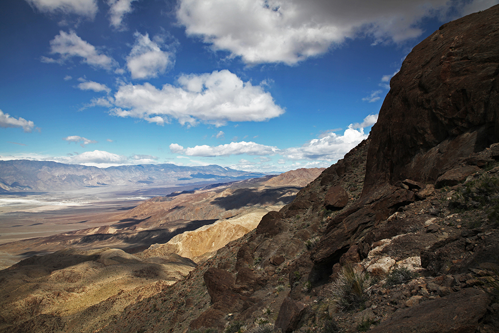


The hike we chose is just one of innumerable ones in Death Valley. We left civilisation for three days, hiking from the touristic Racetrack Valley onto the Ubuhebe peak and into the secluded Hidden Valley, through the Last Chance Canyon and back to the Racetrack, passing several corridors and abandoned mines.
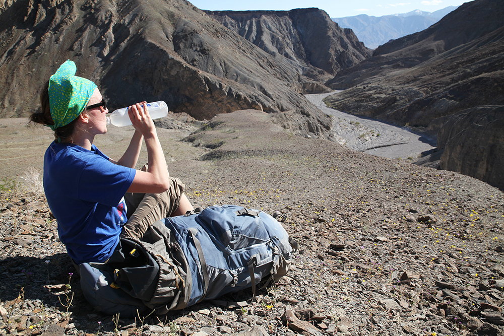
We felt like dromedaries as we each carried 3 gallons of water in our backpacks. As there is not a single water source on the way, we had to outsmart nature. While measuring only 23 miles, the tour is demanding as you scramble over steep loose scree and the way is not always obvious.
The deeper we went into the desert, the more it revealed its secrets: snakes hissed in front of our feet, crickets sang their concerts at dawn and the stars shone brighter than we have ever seen them before.
The best seasons for a road trip to the Death Valley are spring and autumn; summers are too hot and winter floods can become dangerous traps for desert hikers. The perfect time is around new moon in spring, when flowers are blossoming, migratory birds are resting and the moon does not outshine the stars. We went in March and had pleasant temperatures between 50 degrees at night and 85 during the day.
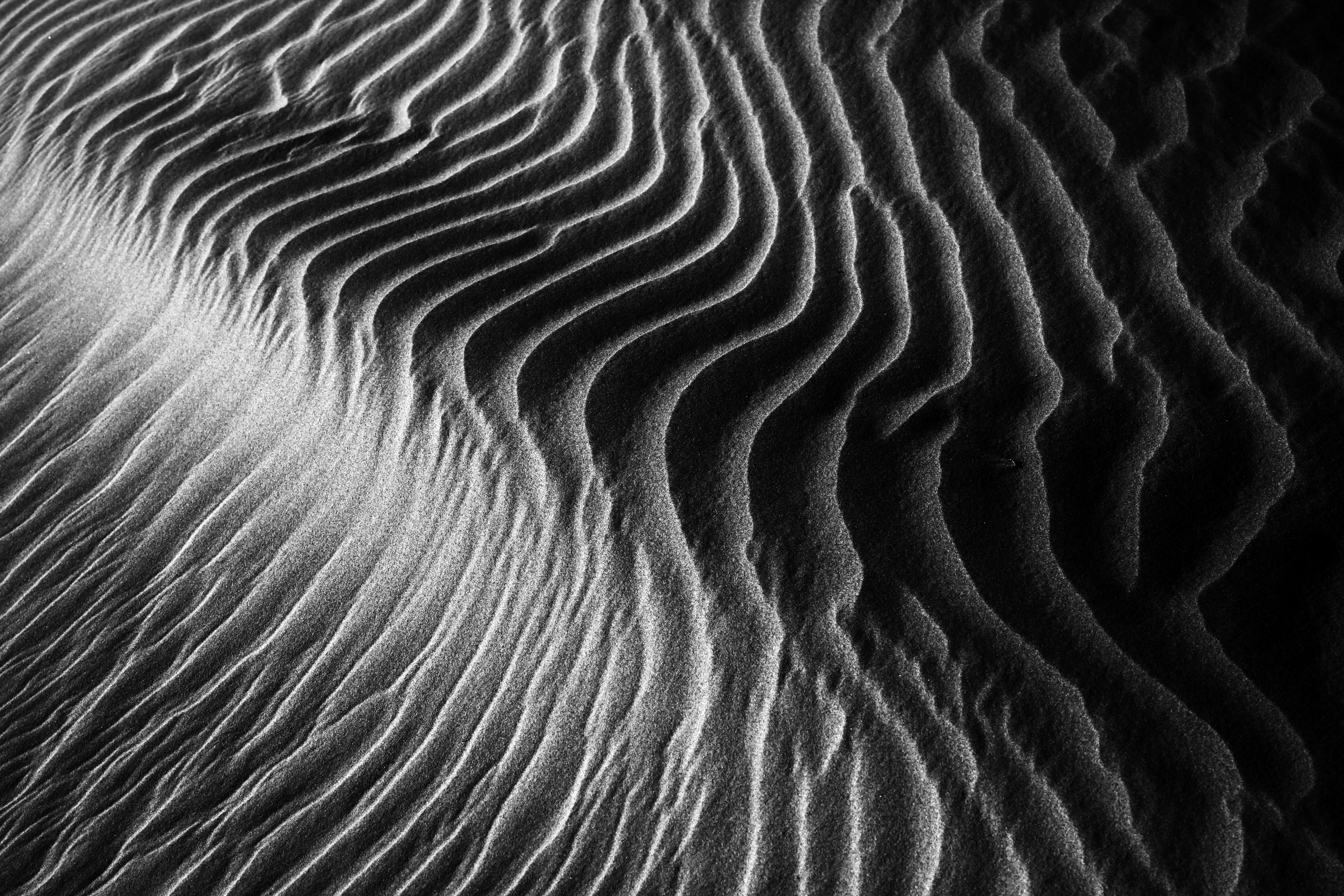
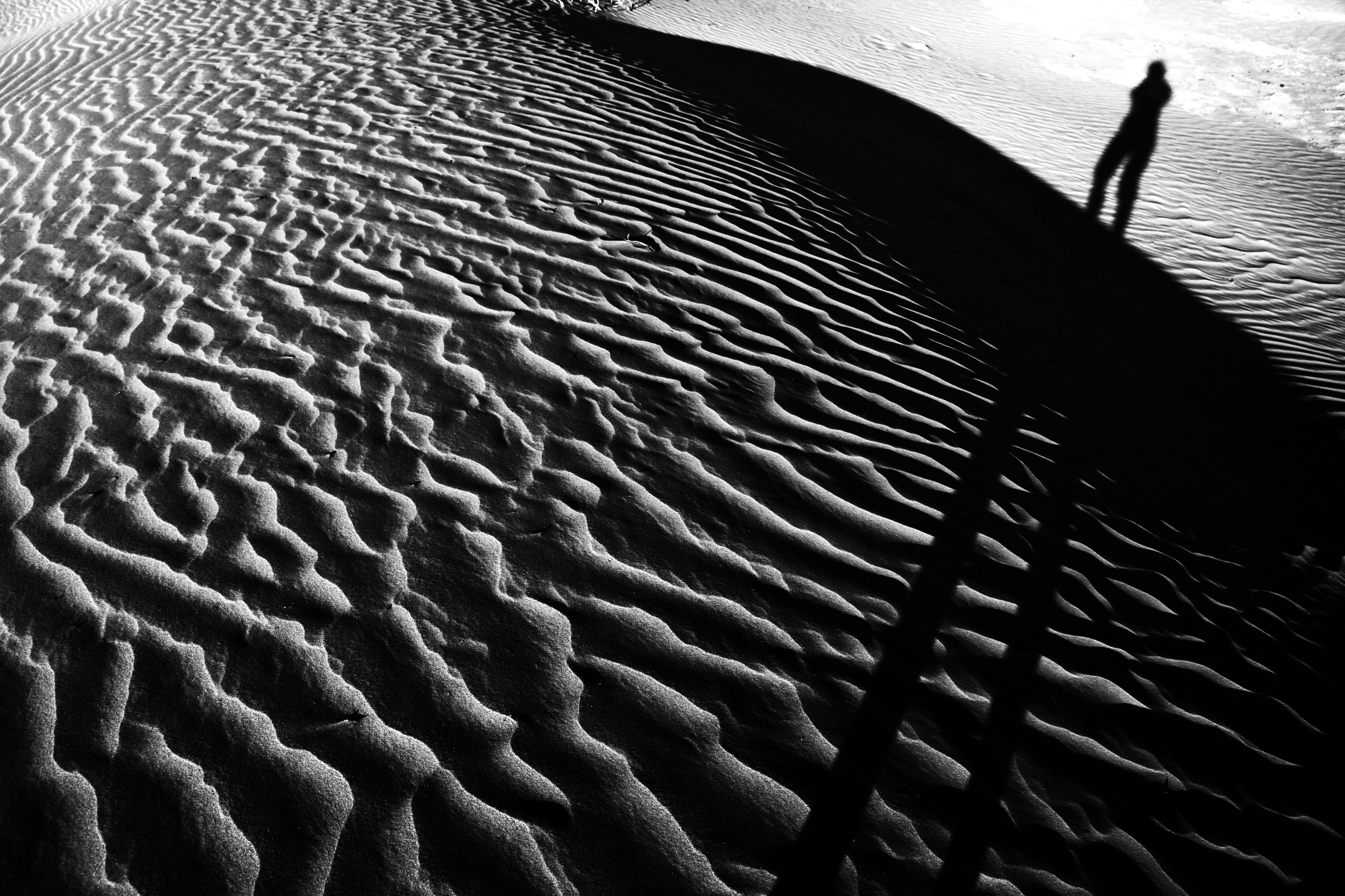
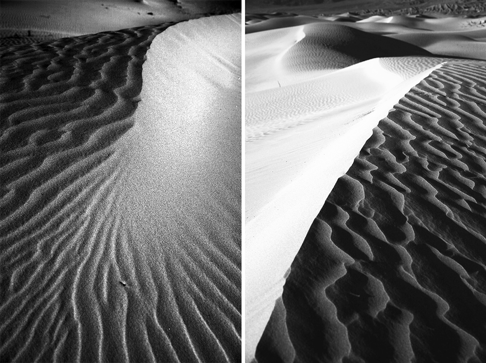
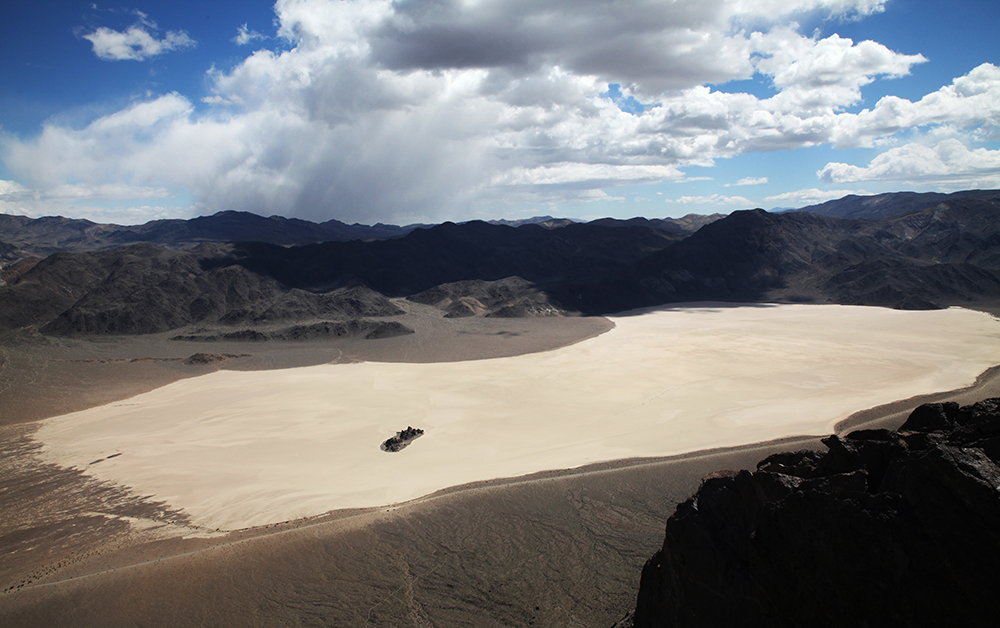
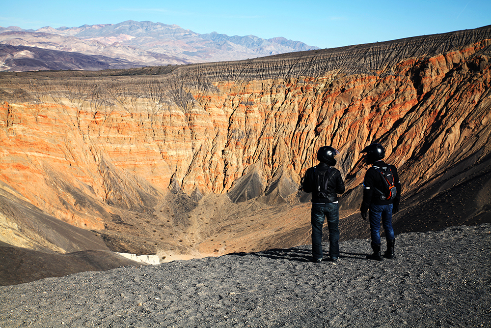
San Francisco is a striking 530 miles away, but you can combine the hike with other visits in Death Valley National Park (I recommend Ubuhebe Crater and Mesquite Sand Dunes) and other activities on the way like climbing in Red Rocks and Bishop, skiing near Lake Tahoe or visiting the Manzanar War Relocation Center.
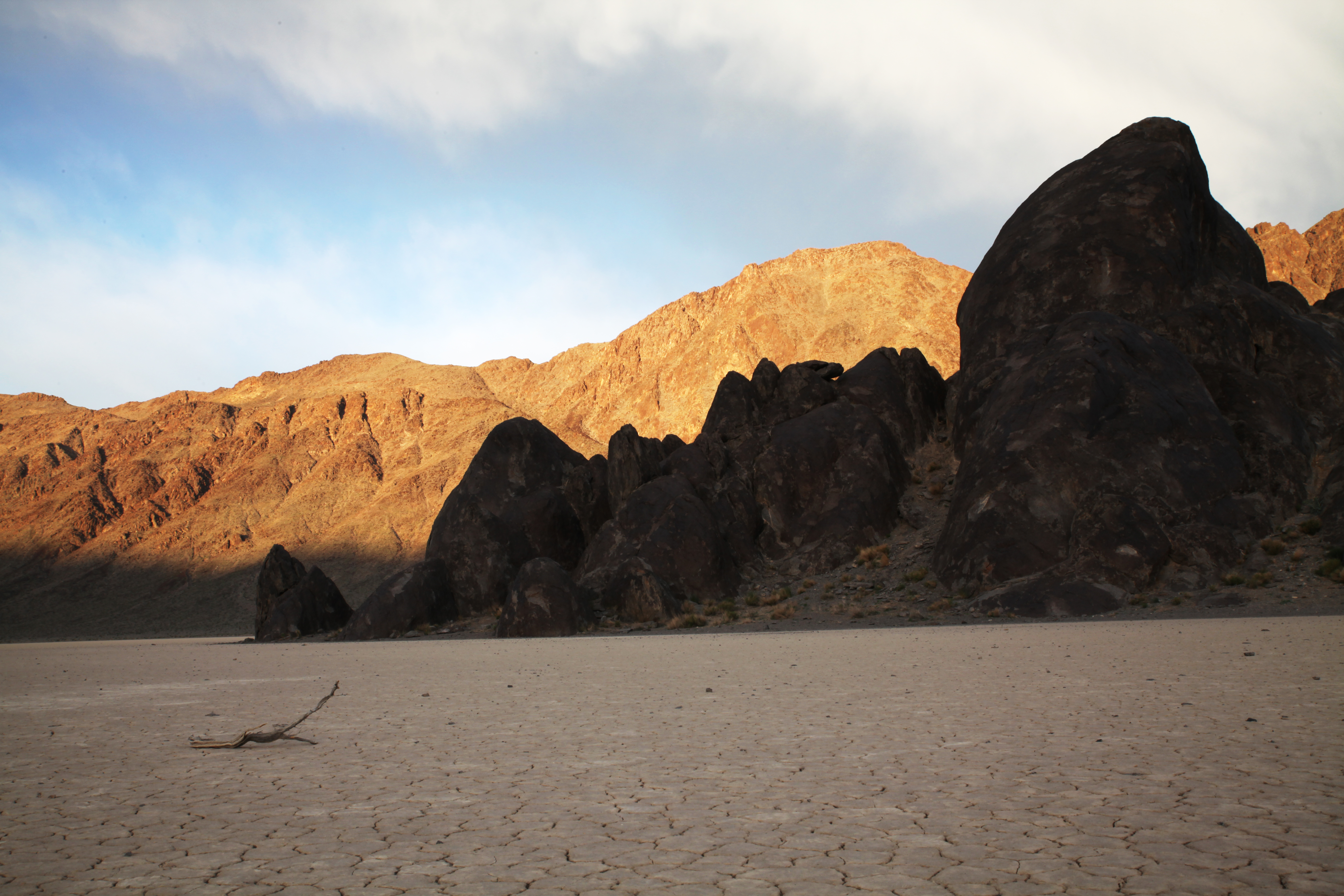
Death Valley is not only the hottest place in the US (up to 134 degrees), but also the lowest (up to 86 metres below sea level) and the driest (49 mm of rain a year). Five mountain ranges shield it from the Pacific – five ranges on which most clouds rain down. But if it does rain, the effect is disastrous: The soil is too hard to absorb the water, so it hurtles down the mountain slopes, tears everything away like an avalanche and digs deep canyons into the mountains.
On the second day of our tour, we inadvertently stood in front of a 30 foot wall in the middle of a canyon. It was not mentioned in our guide book, but we suppose that the abyss was created by a recent flooding which might have washed out loose ground in front of the wall. Luckily we could find a sketchy scramble to circumvent it and did not have to return the whole way.
 What to read: This Ubuhebe Country Loop hike is described in Backpacking California (p. 237-242), but the guide book does not have a detailed map and does not mention the impasse at the end of the second day which you have to circumvent. If you understand German, you can read a detailed tour description on my blog – or just ask me via email. If you want to take your hiking one step further, the travelogue Salt to Summit about a journey from the lowest to the highest point in the contiguous US might inspire you to draft your own tour. A mapping tool such as Caltopo might help.
 What to take: hiking boots, telescope poles, tent (to protect against snakes and spiders) or bivy (camping is allowed as soon as you are 1 mile from the nearest road), headlamp with spare batteries, compass/GPS device/spot tracker, sunscreen and sunglasses, warm clothes for nights, hand sanitizer, first aid kit, 1 gallon of water per person per day, possibly salt tablets, dry food (using a stove is prohibited due to fire hazards), small rope to pull your backpack up dry waterfalls. Take more food and a lot more water inside your car. This map gives an overview of the Death Valley and lets you find the Racetrack where you park your car. Print yourself a Caltopo map of the area to complement the vague map from the guide book.
 Before you go: check the weather forecast (beware of torrential rains), road conditions and read the park rules. Most areas of the Death Valley have no mobile network, so leave a detailed tour description with friends. The ranger station is your last chance to refill water for the tour and to refuel your car, if you haven’t done it outside the park where it is a lot cheaper.